


Polluters/Industial Dischargers:


Upper Deep River:


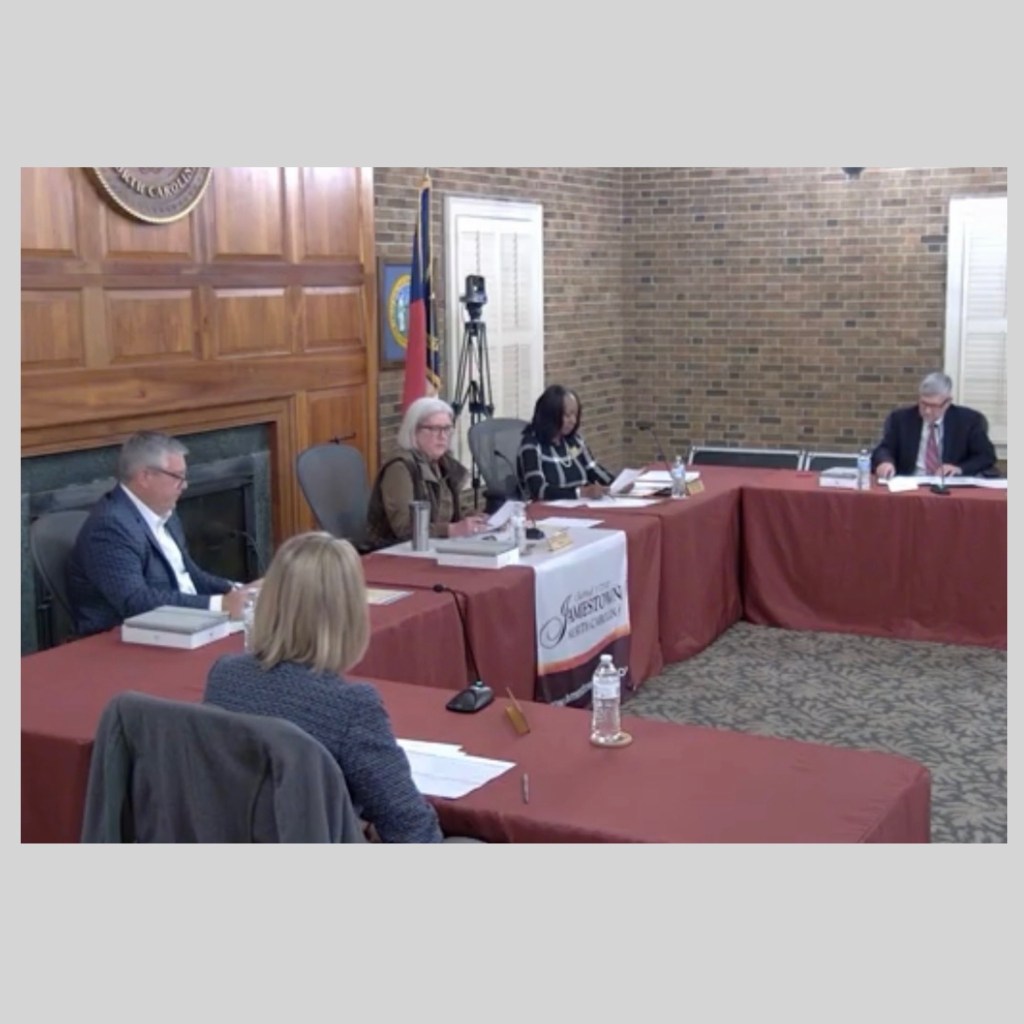
Town of Jamestown vs. Jamestown 27282:


2023 Stormwater Map: Town of Jamestown’s (left), and after we added the streams/waterways (right):


The PEOPLE own Deep River, a Water of the United States (WOTUS). Who owns the banks & buffers:


RIVERDALE DRIVE, JAMESTOWN 27282: Kersey Valley Landfill, Jackson Lake Rd Landfill, GFL C&D Landfill, Seaboard Chemical Dump/High Point Landfill, Eastside Sewer/Wastewater Plant:


JAMESTOWN GOLD & COPPER DISTRICT:


BCS Group /Red Rock/Transou BROWNFIELDS: Developer razed and wants to build residential:


Lester Group/Fortress Wood BROWNFIELD: Concrete Plant is prospective developer:


VOTING DISTRICTS AS REDRAWN BY THE NC ASSEMBLY in OCTOBER 2023:


RANDLEMAN WATER SUPPLY WATERSHED:


